
Bethlehem Previous Residents Sources
A backward address trail starts with a current parcel record, but it should not end there. Bethlehem crosses Northampton and Lehigh counties, so a postal line or ZIP code does not select the correct Recorder, assessment office, estate file, or court system. Use the county GIS municipality and parcel field to identify the correct route. Property data can show a current owner and mailing field; that is not proof that the owner was the household occupant.
| Source | Verified coverage | Where held | What it contributes |
|---|---|---|---|
| Lehigh deed records | 1812-present holdings | Recorder, Landex, Russell | Title chain and legal description |
| Northampton historic land indexes | Grantor/grantee 1752-1926 | Recorder, Archives, PHMC | Older recorded-party trail |
| BAPL directories | 1895-present | Bethlehem Room | Dated household or business listing |
| Sanborn maps | 1885-1912 editions | BAPL and Library of Congress | Street and building context |
| Federal census | 1790-1950 released | BAPL and databases | Household relationships near a date |
For a recent building or work trail, Bethlehem's permit reports and Code Enforcement files may add dates, parcel information, owner names, and project descriptions. They are not an occupancy list. The City has reported temporary Wednesday-afternoon counter closures while permit files are digitized, so check access before making a visit.
Bethlehem Deed Chain for Past Owners
Begin with the correct county assessment or GIS record and capture the parcel identifier, site address, deed reference, and legal description. A legal description identifies the land by lot, boundary, or recorded description. It is more durable than a street number when a road is renamed or numbering changes. In Northampton, the Tax Parcel Viewer supports property-location, map-block-lot, owner-line, universal, and map searches; a map result supplies the CAMA and deed bridge. In Lehigh, assessment and Parcel Viewer records lead to the PIN or instrument route.
- Locate the present parcel and write down the county, parcel or UPI/PIN, site address, and any deed reference.
- Retrieve the current deed at the Recorder, Landex, or a public terminal. Note the recorded parties, date, legal description, and predecessor reference.
- Follow the predecessor document number or book and page. The seller on one deed can be searched as the buyer, or grantee, in an earlier acquisition.
- Repeat the chain one document at a time. Keep the parcel identity with the address so a street change does not break the trail.
- When an online sequence ends, use the Recorder counter, microfilm, or historic index described for that county.
- Grantor
- The party transferring an interest in a recorded deed.
- Grantee
- The party receiving that interest. A grantee entry can lead to an earlier purchase.
- Chain of title
- The sequence of recorded transfers for a parcel. It is a property history, not a list of residents.
- UPI or PIN
- A county parcel identifier that helps bridge maps, assessment records, and deeds.
Lehigh and Northampton Record Breaks
Lehigh's local house-research route distinguishes formats. For post-1984 document IDs, the BAPL guide directs a researcher to Landex Original Instrument and the instrument number. When an older reference supplies book and page, it directs the searcher to the Russell Index, then to Deeds and the book/page route. The distinction is a workflow break, not the beginning of Lehigh's records. County Recorder material says its deeds and real-estate records reach 1812, with permanent books through April 19, 2002 and computer images beginning April 22, 2002.
Northampton has a different fallback. Start with the parcel and Recorder or Landex channel, then use the Recorder terminal, hard-copy books, or microfilm if the computerized sequence stops. The State Archives guide lists Northampton deed books for 1752-1866, grantor/grantee indexes for 1752-1926, and mortgage indexes for 1752-1922. The county Archives says originating offices retain the microfilm, so an Archives listing does not mean every image is in one online database.
Bethlehem Previous Residents by Address
Once the physical parcel is stable, switch from ownership to the historical occupancy layer. BAPL's Greater Bethlehem directories run from 1895 to the present, and its named early volumes include Sholes editions from 1900-01 through 1917-18. Consult the relevant edition for an address and then compare the prior and next available editions. The fuller collection details are on the Bethlehem city directory page.
- Transcribe an address, person name, middle initial, and any business notation exactly as printed.
- Check nearby directory editions to establish a dated sequence instead of treating a single listing as a move date.
- Compare the closest released census for household relationships, ages, and birthplace details.
- Use the BAPL newspaper index to find an article date and page, then inspect the original article for relatives, spellings, or correction notices.
- For a death or estate question, use the appropriate county Register of Wills and Orphans' Court records after identifying the correct county.
Directories and census records can show different things. A directory is a dated compiler's listing. A census supplies a household snapshot. Neither can be used to fill every gap between dates. The local newspaper index is incomplete, and an index citation is only a lead until the source article is checked.
Limits on Bethlehem Previous Residents Records
Public parcel and deed records document land and recorded parties. They do not identify every renter, relative, delivery recipient, utility account holder, or person temporarily at an address. The owner mailing line can differ from the property location, and a homestead or farmstead field is a tax-program field, not a household list. Keep those distinctions clear when a result appears to tie a person to a house.
Pennsylvania Address Confidentiality Program participants may use substitute addresses in voter, court or government, marriage, vehicle, and other records. That protection is another reason not to infer a complete household from an address search. Use the available materials for lawful personal, family-history, property-curiosity, civic, or anti-scam purposes, and follow the custodian's access procedures for nonpublic material.
Older Bethlehem Addresses and Numbers
Address continuity is the difficult part of many house histories. The BAPL guide gives one local numbering-change example: the same house can appear as 24, then 121, then 421 in successive decades. Sanborn maps help test whether a building, street pattern, and number align in a particular edition. The Library of Congress provides a public 1892 Bethlehem sequence; BAPL has additional 1885 through 1912 material.
The 1917-18 consolidation transition is another local complication. Lehigh University describes five municipalities merging in 1917, while BAPL's municipal timeline and finding aid place City consolidation and East Bethlehem annexation in 1918, with Northampton Heights joining in 1920. Preserve the printed municipality and street wording rather than silently translating every old citation into a modern address. BAPL's cataloged microform of older Borough and City records is a useful bridge.
Bethlehem House History Beyond Deeds
Deeds answer a recorded transfer question. City permits and historic-review material can help date work, proposed changes, or a public review process at the property. Bethlehem's Code Enforcement permit route lists a building and zoning application, permit information, and a public contact number of 610-865-7091. The City's published monthly Permits Issued reports are a separate dated-report collection, not a live search by address, owner, or household. A July 2026 Building report uses headers including activity or status, date, type, parcel, owner's name, description, and site address.
For a house in the historic core, the City's Historic and Conservation Districts material gives another record path. The Bethlehem Historic District is reviewed by HARB, while South Bethlehem and Mount Airy are reviewed by HCC. Applications and ensuing public agenda or council material can help date visible changes. They do not establish that a named applicant lived at the property. HARB meets on the first Wednesday each month and HCC on the third Monday, but meeting schedules and document availability should be confirmed with the City.
Use a narrow records request or counter inquiry for an existing file when the ordinary public channels do not provide it. The City office should not be asked to create an abstract, interpret title, or identify all past occupants. A permit, map, assessment record, and directory each answer a different question; the strongest address chronology names the source and its date at every step.
Bethlehem Newspaper Clues After Directories
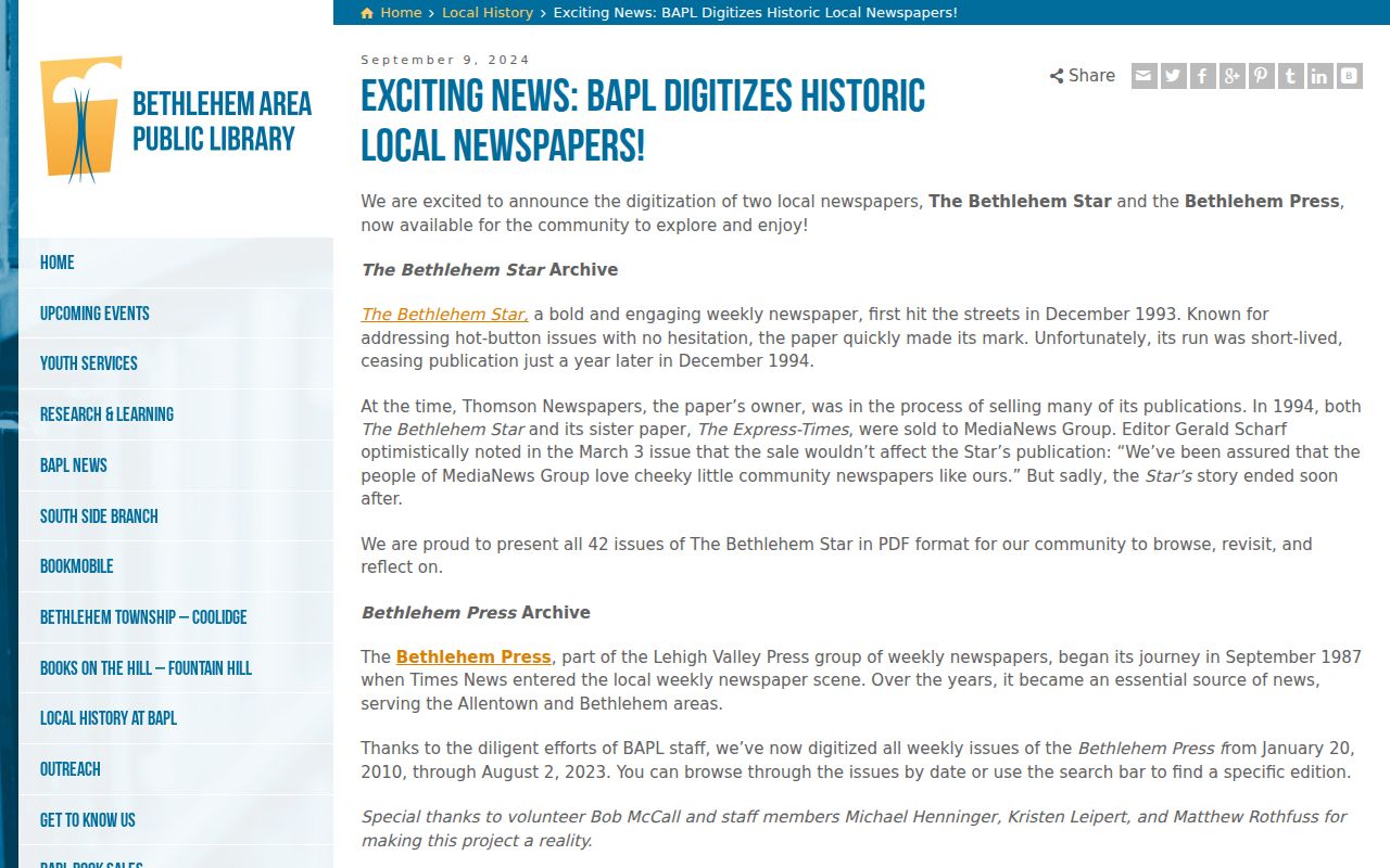
BAPL's newspaper digitization announcement documents all 42 issues of the 1993-94 Bethlehem Star and weekly Bethlehem Press issues from January 20, 2010 through August 2, 2023. These are a public, dated reporting layer after a directory or census result. They may help identify an event, organization, spelling, or address context, but they should not be read as a complete resident roster.
The BAPL digitization announcement describes the public access route for those local runs.
Lawful use. Bethlehem address history is appropriate for family history, house history, property research, civic context, and avoiding scams. Do not use public records or historical material to stalk, harass, or harm a living person.